History teachers should check out Northern Illinois University’s digital collections. While some collections focus only on Illinois history, others cover a broad range of topics such as the Mexican-American War and election campaigns (1840 – 1860). Each site offers primary sources, maps, lesson plans, audio files, and other materials. Be sure to take a look at Mark Twain’s Mississippi for a number of interesting resources, such as large collection of videos. In addition, Northern Illinois University provides free access to articles published in the Journal of the Illinois State Historical Society between 1979 and 2006.
12
Nov
08
 While House Divided has a large collection of maps, I want to highlight some the interesting city maps that are available. You can find maps of cities like Boston, Baltimore, Buffalo, Chicago, Cincinnati, and many more. Be sure to check out the Washington D.C. map since it provides the location of specific buildings, including the “Presidents House” and “War Departments.” These street level maps, which were published during the 1850s, can good resources for teachers to use in the classroom. For example, several city maps are in the Google Earth tour of Henry “Box” Brown’s escape. Students can follow the exact route that Brown took to freedom, from Samuel Smith’s house in Richmond, Virginia to the Vigilance Committee Office in Philadelphia, Pennsylvania.
27
Oct
08
Pathways to Freedom
Published in 19th Century (1840-1880), Lesson Plans, Maps Themes: Education & Culture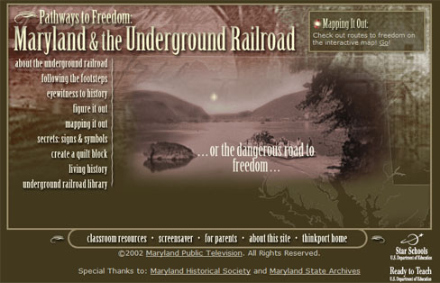 Maryland Public Television has developed an interactive website containing multiple resources for teaching the story of the Underground Railorad. As stated on their website, the site is, “to help Maryland students in Grades 4 and 8 look more closely at Maryland’s people, stories, and events of that surrounded this important effort.” The site contains several interactive maps, timelines, and a neat “Following the Footsteps” section that allows students to make choices for themselves. The site can be found here.
27
Jun
08
Everyday Life in the Civil War
Published in Civil War (1861-1865), Images, Letters & Diaries, Maps, Rare Books Themes: Battles & Soldiers CivilWarHome.com is a great site with a ton of information on life during the civil war. Their main page is separated in several categories including Medicine, Biographies, and Essays each with numerous links and descriptions for subcategories.
20
Jun
08
Old John Brown
Published in Antebellum (1840-1861), Lesson Plans, Maps, Video Themes: Slavery & Abolition PBS has made a film exploring the illustrious and radical abolitionist John Brown. Called “John Brown’s Holy War,” the film explores John Brown’s life and crusade for abolition of slavery, asking if the man was “…a martyr or a madman, a fanatic or a hero…”. PBS provides a webpage advertising the film and also giving an overview of John Brown’s life, including time lines and an interactive map. A teacher’s guide is also included.
19
Jun
08
Lincoln-Douglas Debates interactive map
Published in Antebellum (1840-1861), Maps Themes: Contests & Elections I found an interactive map of the Lincoln-Douglas Campaign of 1858.
The Underground Classroom’s Virtual Field Trips also offers an interactive map of the Lincoln-Douglas Debates using Google Earth. Visual maps are a useful tool to demonstrate and analyze the significance of the Lincoln-Douglas debates. The maps are a perfect tool for your students to use during the 150th anniversary of the Lincoln-Douglas debates.
18
Jun
08
Marching to the Sea
Published in Civil War (1861-1865), Images, Maps, Recent News, Recent Scholarship Themes: Battles & SoldiersAt the recent unveiling of the House Divided project, held June 13th at Dickinson College, Pullitzer prize-winning author and Civil War historian Mark Neely spoke on party politics during the 1850s. He also allowed us a brief interview, during which time we were able to get his impression on Sherman’s March to the Sea and its implication as an example of ‘total war.’ While Professor Neely does not agree that the March was ‘total war’ in a modern sense, Sherman used some of the fiercest tactics yet seen during the war. Indeed, Sherman hoped to have the South “…begging for mercy…” at the conclusion of his march.
 This History Channel website provides an interactive map, complete with audio and images, detailing the three campaigns of Sherman’s march. Principal battles of the campaigns and other events are explained, and factoid boxes provide information on little known tactics, events or other interesting things about the March to the Sea.
An interesting, thoroughly 21st century tech exploration of this crucial military movement.


