Have been playing with Google Maps. If I can work out all of my kinks with it, it looks like a cool tool to use with students. Struggling with integrating my personal pictures rather than off the internet. Struggling as well with the interface. I’m used to WYSIWYG and this is a little more labor intensive so that probably speaks more to my laziness than anything else.
The handout really helps though. Thank you!
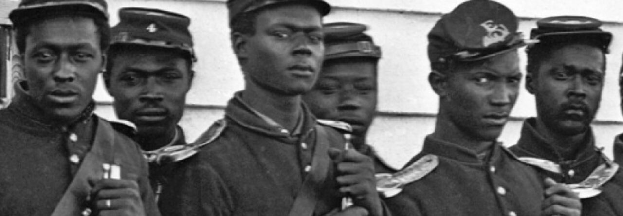
The map is of the different places John Brown traveled while he was an active abolitionist. So far have two sites in Kansas, two in Virginia (West Virginia) and one in Canada. I had a few more, but delete really means delete in Google Maps.
Try this link to my map. If it doesn’t work, would you let me know and I will keep trying.
leahy
Dave nice work . You might want to add Osawatomie where the John Brown Museum and the Adair Cabin is. Have you watched the docudrama “Touched by Fire, Bleeding Kansas” I would be happy to get you a copy. It’s all about John Brown in Kansas.
salbertson
The link worked great. Maybe I will get brave and try this at some point.
jmklax
I know that Brown lectured at Concord ( in attendance were: Thoreau, Emerson and B.Alscott) to raise money and they all were impressed- any idea as to where one might find the contents of those lectures?
janeapplebee
Nice work, pioneer! I like the way the events all display down the left side of the screen.