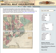
While I highlighted House Divided’s map collection a few weeks ago, another great resource is the American Geographical Society Library Digital Map Collection. One can look through over 500 maps from around the world as well as from different eras (15th – 21st century). This collection has lots of interesting maps to check out, such as world maps from 1818, 1850s, and 1890s, as well as city maps of major US cities like Chicago, New Orleans, and New York (1840 and 1871). The University of Wisconsin-Milwaukee Libraries hosts this collection and a number of other digital projects as well.
18
Dec
09


Related Articles
1 user responded in this post
thanks for your information
Leave A Reply
Please Note: Comment moderation maybe active so there is no need to resubmit your comments