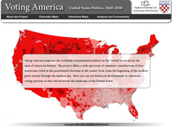
 The University of Richmond Digital Scholarship Lab’s “Voting America” is great resource on US Presidential elections. The site provides a series of maps on each election between 1840 and 2004 that show a variety of different information. For example, the 1860 election map includes layers that breakdown the popular vote by county and counties with small margins of victories (when a second place candidate lost by less than 10 percent of the vote). The site also organizes the maps by topic, such as turnout and third party voting. In addition, this interactive map allows you to select the election data that appears. Also, be sure to check out all of the videos – including this one with Professor Edward Ayers who discusses the elections before the Civil War.
28
Oct
09


Related Articles
No user responded in this post
Leave A Reply
Please Note: Comment moderation maybe active so there is no need to resubmit your comments