
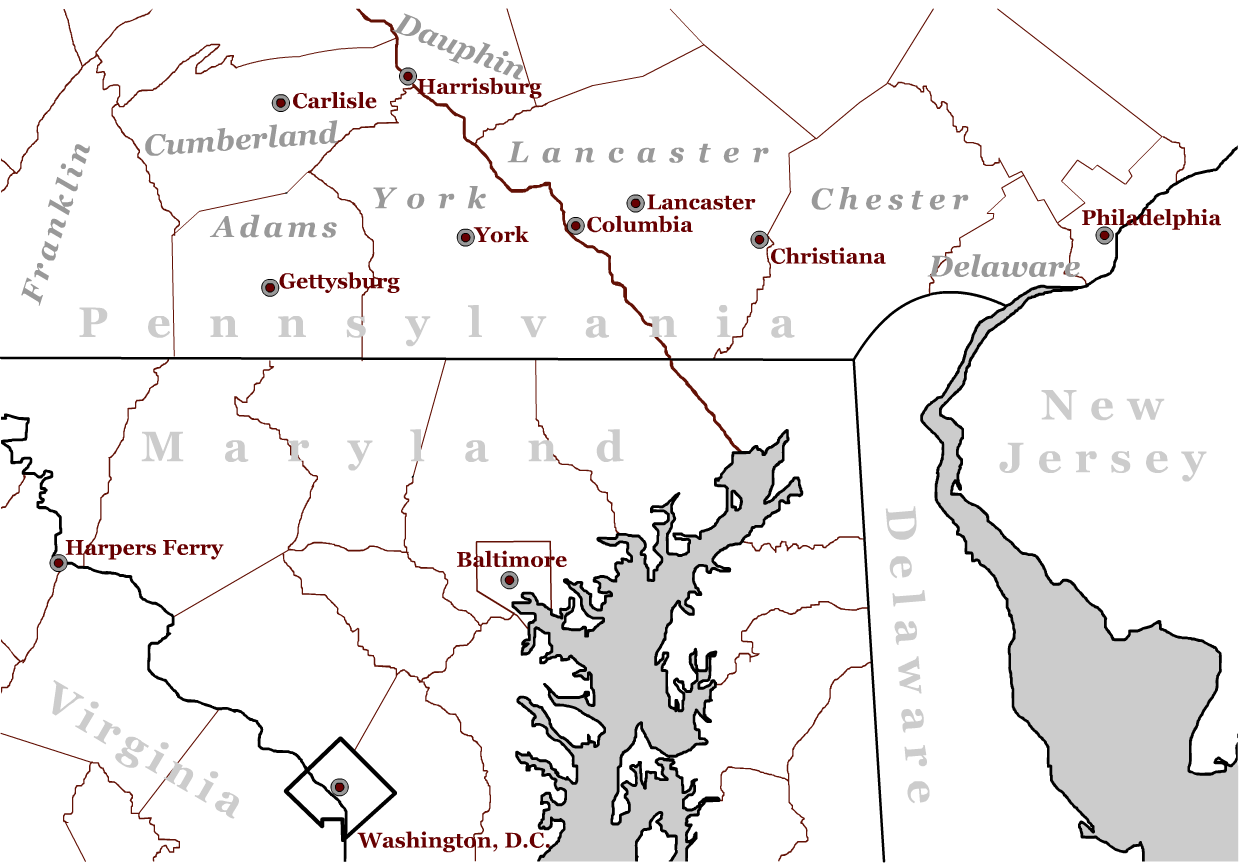
Regional Maps
|
|
|
Print Version (right click and "print image") |
|
|
Map Showing Free Black Population By County in Underground Railroad States (1860). |
This map was composed of individual state maps generated by the Historical Census Browser, a resource provided by the Geospatial and Statistical Data Center at the University of Virginia (http://fisher.lib.virginia.edu/collections/stats/histcensus). It contains county-level results for 1860 drawn directly from the U.S. Census of Population and Housing. |
|

Maps reproduced from: |
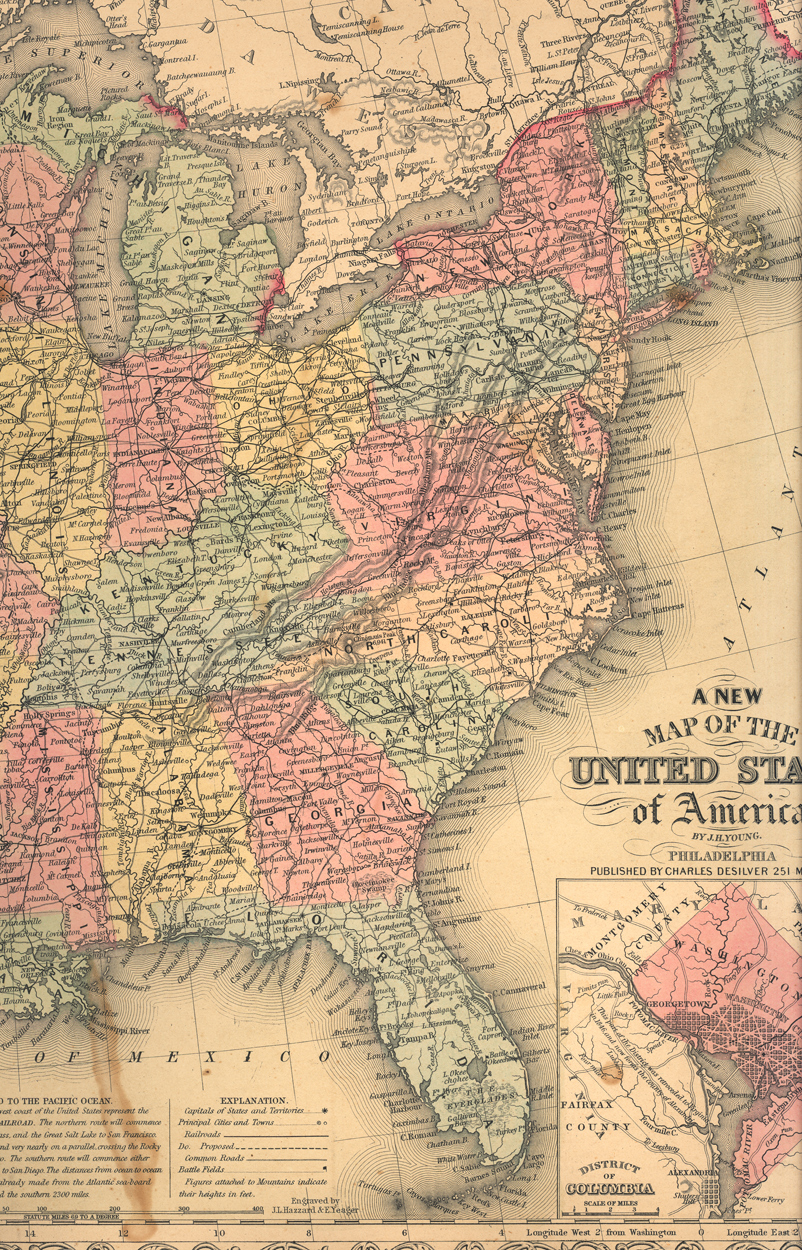
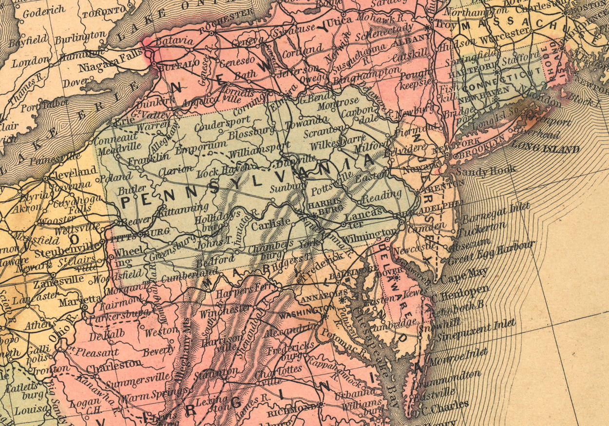
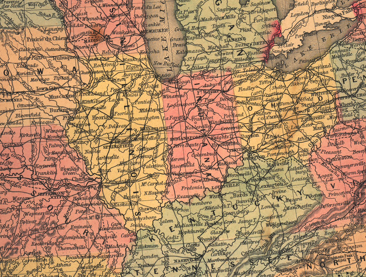
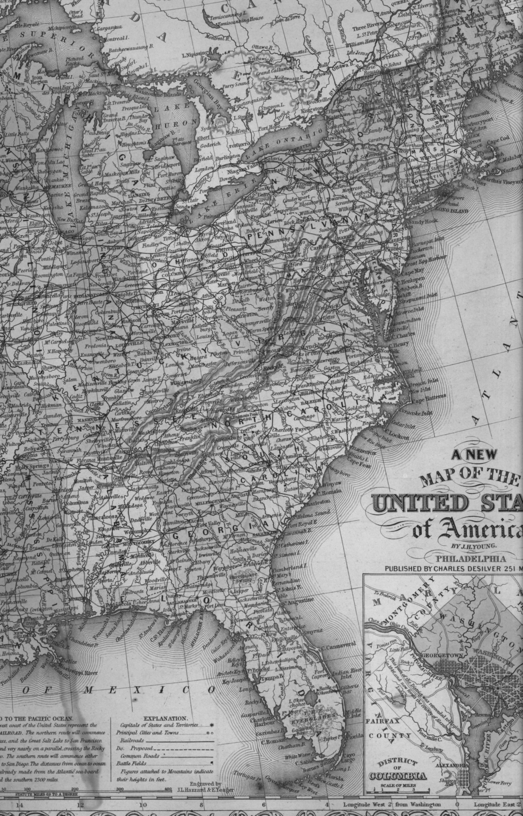
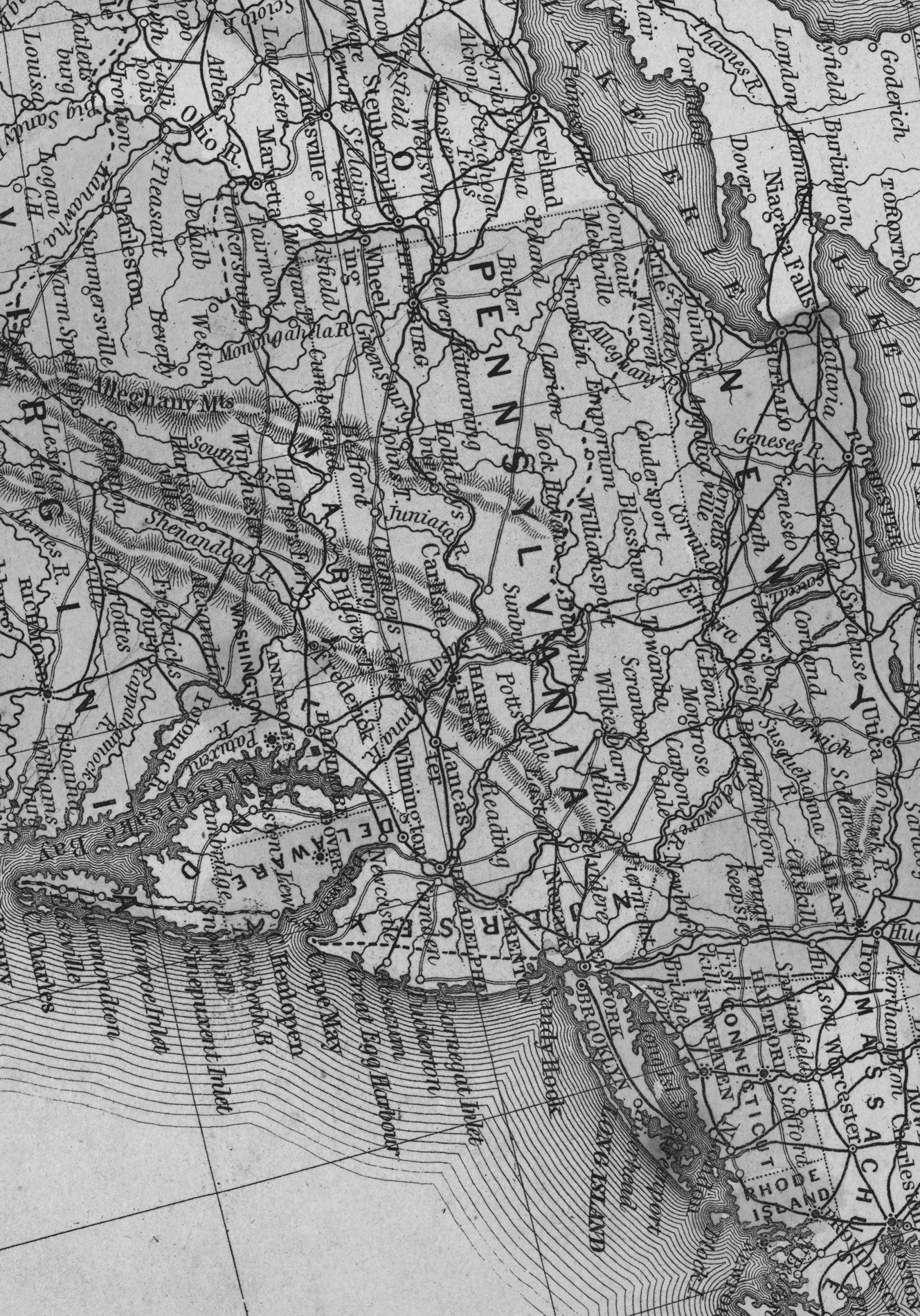
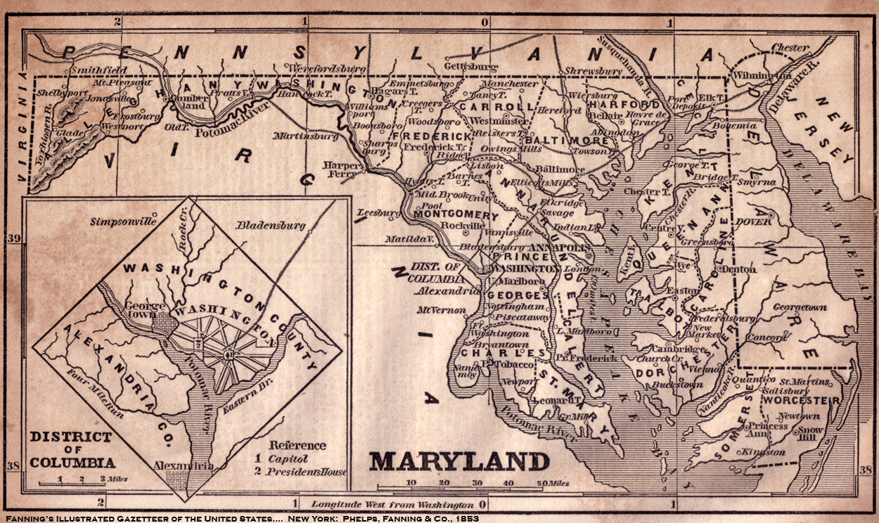
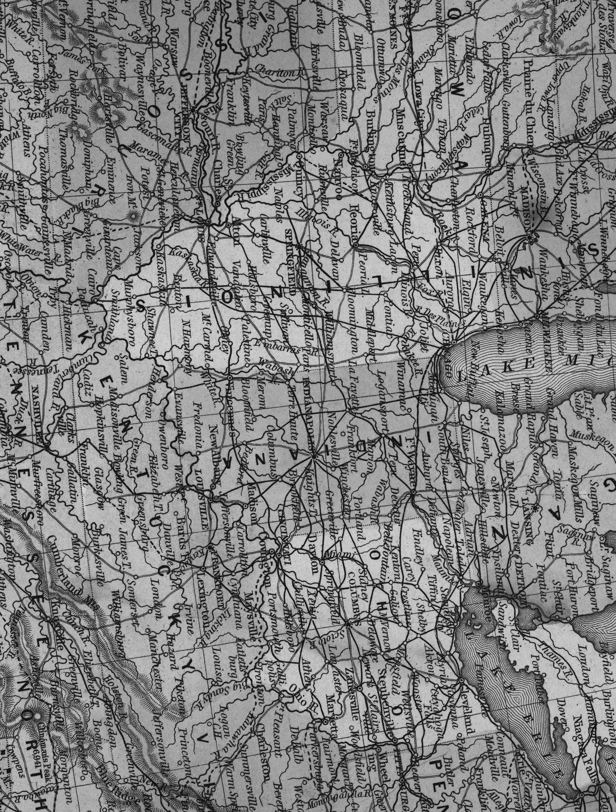
The Eastern United States in 1857Print Version (right click and "print image") |
 |
 |
|
 |