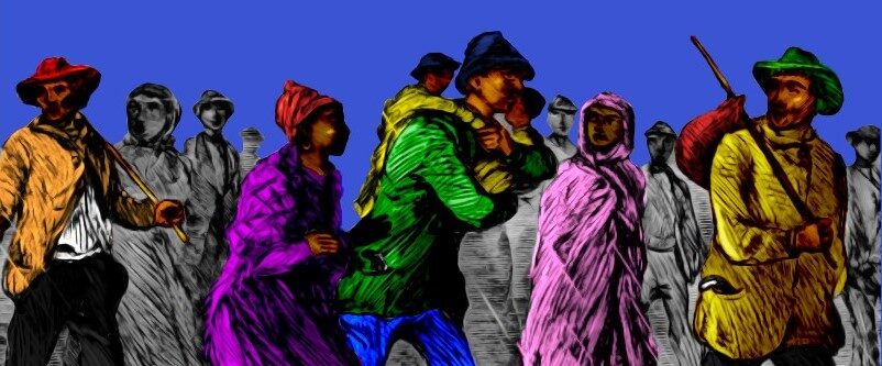
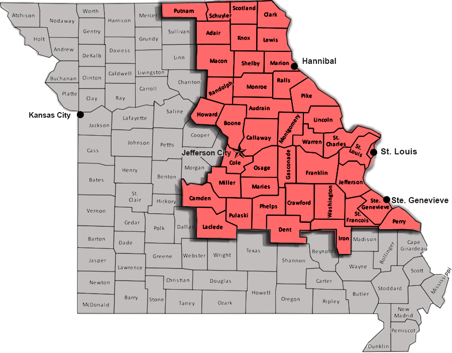
Main Project Area (in red)
Focal point of the Slave Stampedes on the Missouri Borderlands research initiative (NPS / House Divided Project)
Missouri Borderlands
Missouri borderlands, c. 1860 (Courtesy David Rumsey map collection)
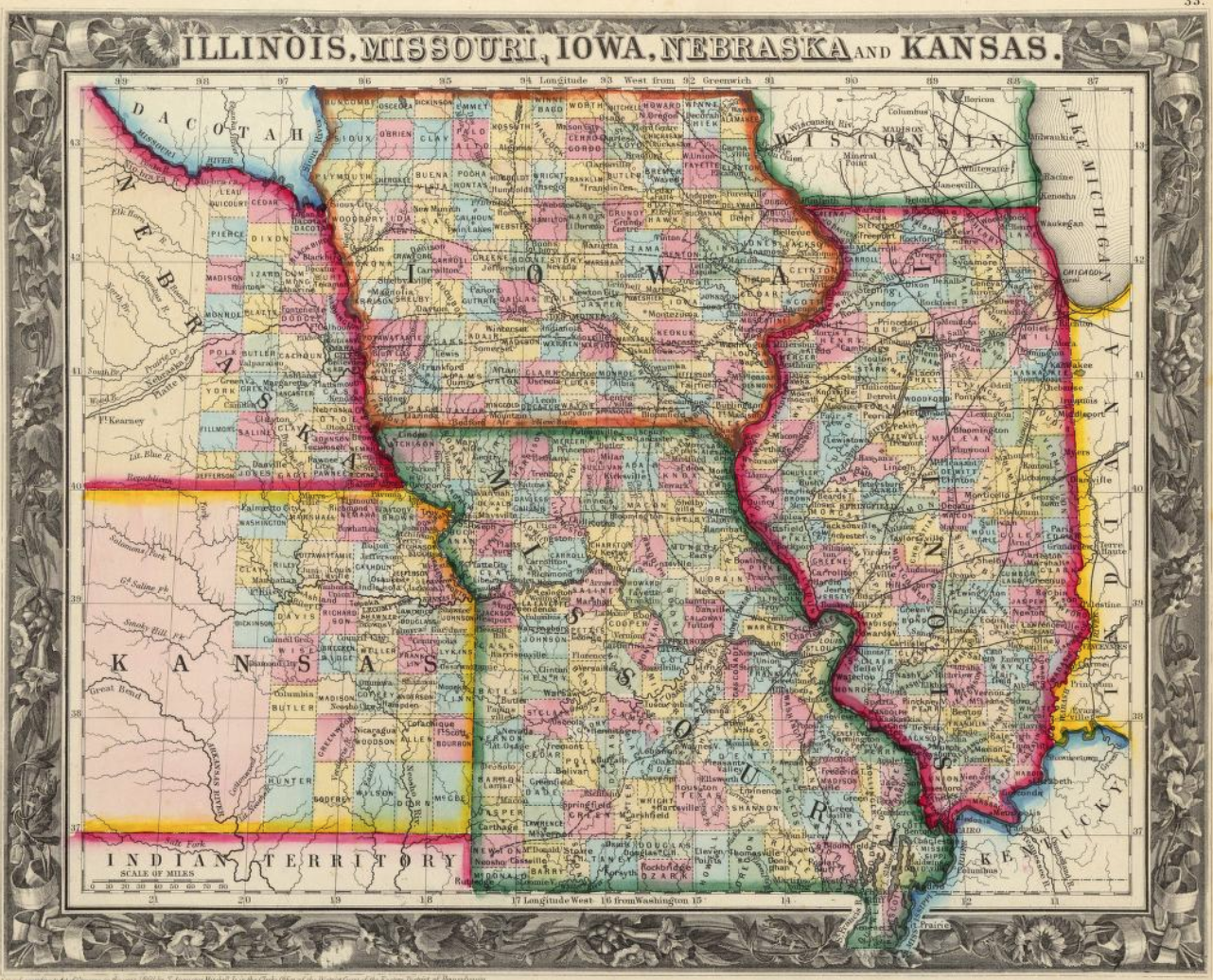
State of Missouri
To access full metada and zoomable views of these and other historic maps, go to the Missouri page at the House Divided research engine
-
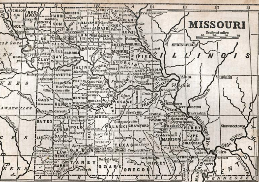
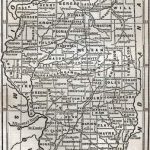
- Missouri, 1853
-
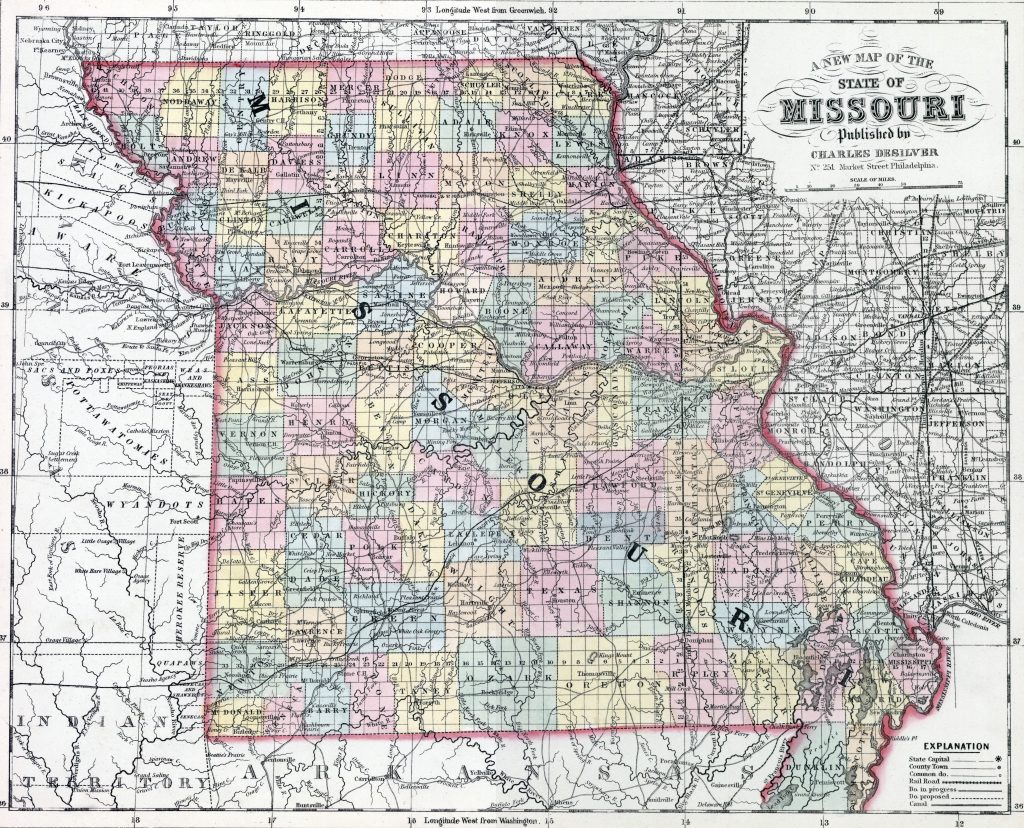
- Missouri, 1857
Historic Missouri county maps in the House Divided research engine from the main project area:
- Adair
- Audrain
- Boone
- Callaway
- Camden
- Clark
- Cole
- Crawford
- Dent
- Franklin
- Gasconade
- Howard
- Iron
- Jefferson
- Knox
- Laclede
- Lewis
- Lincoln
- Macon
- Maries (organized 1855)
- Marion
- Miller
- Monroe
- Montgomery
- Osage
- Perry
- Phelps
- Pike
- Pulaski
- Putnam
- Ralls
- Randolph
- Schuyler
- Scotland
- Shelby
- St. Charles
- St. Francois
- St. Louis
- Ste. Genevieve
- Warren
- Washington
States Bordering Missouri
-
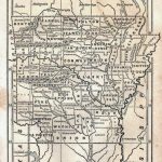
- Arkansas, 1853
-
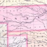
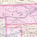
- Kansas, 1857
-
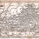
- Kentucky, 1853
-
- Illinois, 1853
-
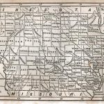
- Iowa, 1853
-
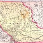
- Nebraska, 1857
-
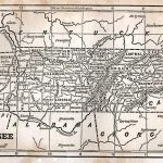
- Tennessee, 1853
-
- Indian Territory (Oklahoma), 1857