Digital texts are useful to researchers partly because they can be searched so easily. This section demonstrates how the digital world also enables scholars to visualize and connect previously isolated texts and data collections.
Author: admin
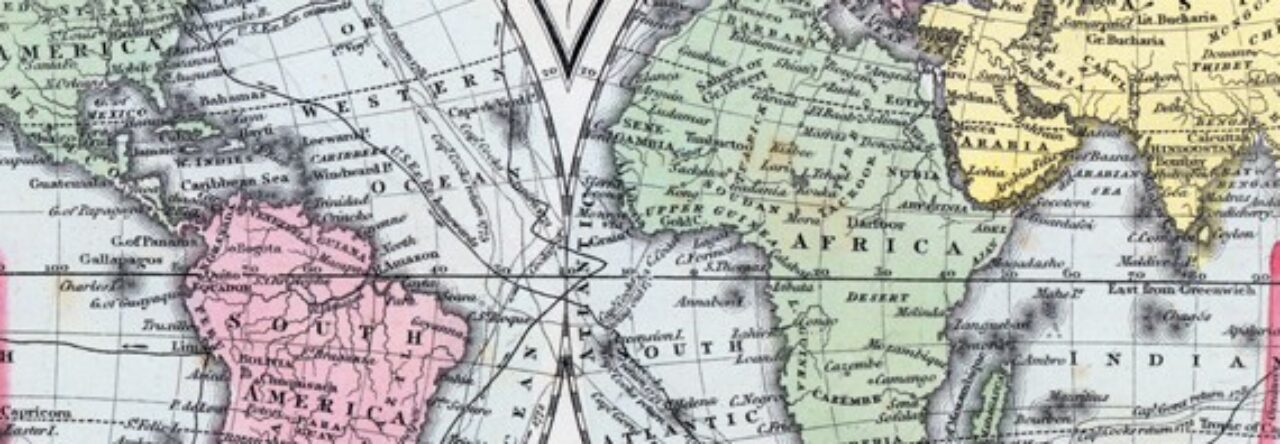
The digital revolution has helped increase the utility of maps as a research tool. This section provides a glimpse into several dynamic new ways that scholars can use maps online to enhance their work.

Charleston, South Carolina, 1857
Geographical context is vital to a clear understanding of events in history. The House Divided Project brings together as comprehensive a collection of period maps as is possible and adds new images constantly. World, country, state, city, and county maps drawn from a wide selection of nineteenth century atlases and collections have been scanned, digitally repaired and presented using the latest “zooming” technology. In addition, the research engine provides for teachers battle and theater maps on the main engagements of the Civil War.
 Modern day photographs of historic sites can be valuable in giving an understanding of both geography and changes over time.
They can also provide a primer and encouragement for teachers planning field trips.
The House Divided Project provides a collection of modern day photographs, often enhanced so as to provide “then and now” images.
Contributions from teachers and others along these lines are strongly encouraged. You will retain your copyright and receive a by-line in the House Divided Research Engine.
The example to the right is a recent photograph of East High Street in Carlisle, Pennsylvania, near the town square and featuring the Benz House, a mid-nineteenth century hotel. The structure came under Confederate horse artillery shellfire in July 1863 and later, in the Reconstruction era, forced the visiting Frederick Douglass to use the rear entrance and sleep in the servants’ quarters.

This section features virtual field trips, in which users create immersive experience with Google Earth by overlaying historic maps, structures, images and text, and several collections of three-dimensional models of historic structures.
Need Help? See How do I use the tour files? or How do I use the model files? for more information.