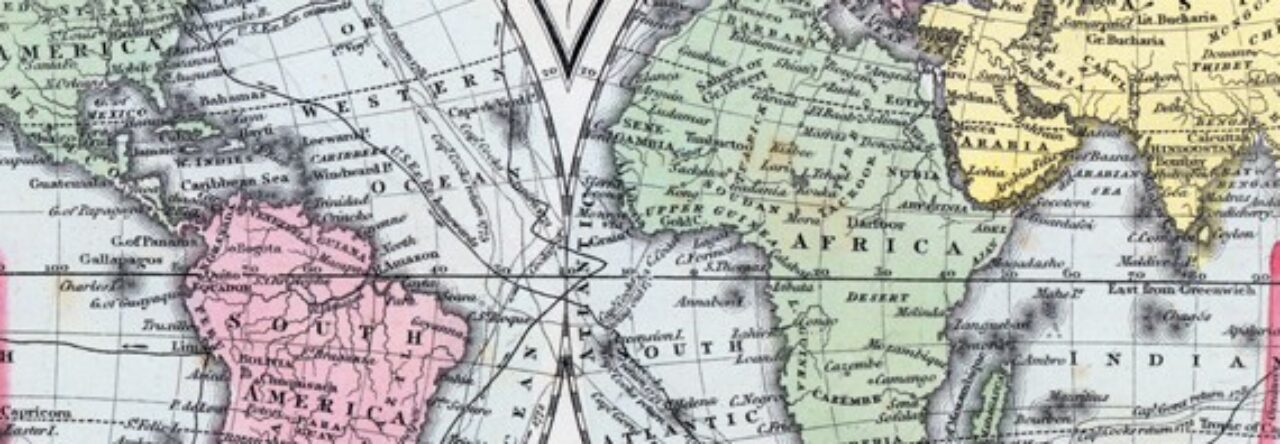
Geographical context is vital to a clear understanding of events in history. The House Divided Project brings together as comprehensive a collection of period maps as is possible and adds new images constantly. World, country, state, city, and county maps drawn from a wide selection of nineteenth century atlases and collections have been scanned, digitally repaired and presented using the latest “zooming” technology. In addition, the research engine provides for teachers battle and theater maps on the main engagements of the Civil War.

