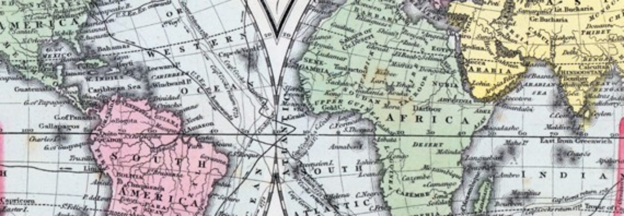
Since an important goal of our project is for teachers and researchers to put all our collection of maps and other images to good use, we have decided on digital restoration of items soiled through use and age. The image below shows both a restored and original example, in this case an 1857 map of Alabama scanned from a period atlas held in the Dickinson College Archives and Special Collections. The full result can be seen (and used) at House Divided here.
